


2. 7. 2025 arxiv.org
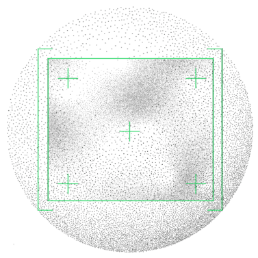
Optimizing Methane Detection On Board Satellites: Speed, Accuracy, and Low-Power Solutions for Resource-Constrained Hardware
Read article

INTELLIGENCE FOR SPACE MISSIONS
Real-time insights directly from orbit to support faster decisions

We are Zaitra
Zaitra develops onboard data processing solutions, aiming to establish our products as the new industry standard to optimise limited downlink and latency.
New product
Optimize Earth Observation missions with our AI-powered on-board cloud detection solution. Significantly reduce your downlink costs and optimize bandwidth by minimizing unnecessary data transmission
A lightweight, high-performance FPGA IP Core for direct integration with Simera Sense xScape imagers. Captures and converts high-speed image data streams into usable formats, enabling rapid deployment in satellite and edge processing systems.
High-performance DPU with Xiphos Q8J. Seamless Simera xScape compatibility and robust interfaces for reliable Earth Observation missions.
A comprehensive suite of high-performance image compression implementations designed specifically for space-based multi/hyper-spectral imaging applications.
Onboard Object Detection Software
Explore how our technology powers real-world applications: from defense and aerospace to maritime and environmental monitoring. Watch the video to see how real-time, actionable insights are generated directly from our onboard AI systems, transforming raw data into mission-critical intelligence.

Zaitra delivered an advanced AI on-board data processing solution for a Czech defense mission.
Saving 98% of downlink in mission
of two 16U CubeSats that performs spectral analysis of the meteor composition.
On-board cloud screening and object detection on hyperspectral data, including data preprocessing for a 6U CubeSat.
The 1st. CORVUS will venture into low Earth orbit with a clear goal – to monitor and address the growing problem of space debris.
our story
Zaitra points you toward tomorrow. Our vision is to change the way data is processed on Earth, in Orbit, and on Moon. We are taking a step closer to achieving space mission autonomy.
Read more
Join our team of space enthusiasts! Creative, initiative and proactive doers with a true passion for space are wanted!
Work In Zaitra


2. 7. 2025 arxiv.org
Contact